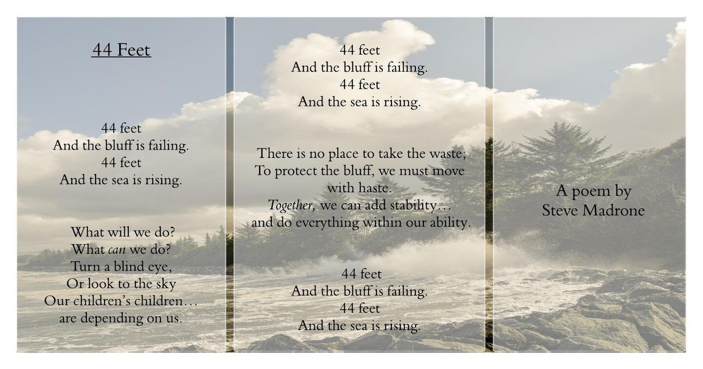
44 feet
A Project of Cal Poly Humboldt and the Sea Level Rise Institute
Thirty-seven tons of commercial nuclear waste are stored on the inland coast of Humboldt Bay, California, in an underground storage vault called the Humboldt Bay Independent Spent Fuel Storage Installation (HB ISFSI). Its location is vulnerable to three adjacent earthquake faults, encroaching sea level, potential tsunamis, and wave erosion. 3.3 feet (1 meter) of sea-level rise will flood the low areas around the ISFSI during king tides, turning it into an island that will be increasingly vulnerable to coastal hazards. Under projected future conditions, the site may be difficult to access for waste management, in an emergency, and for relocation.
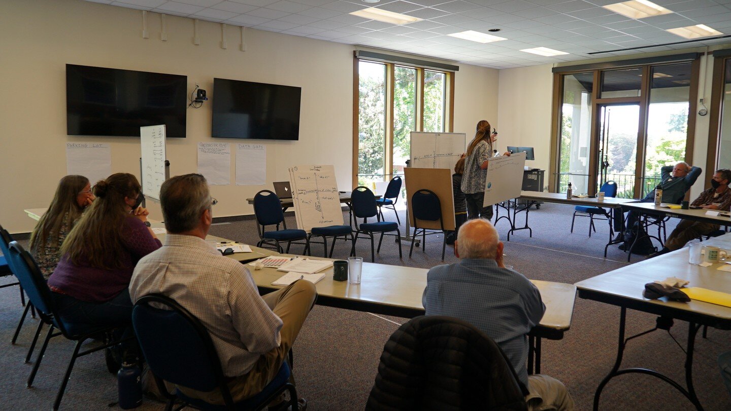
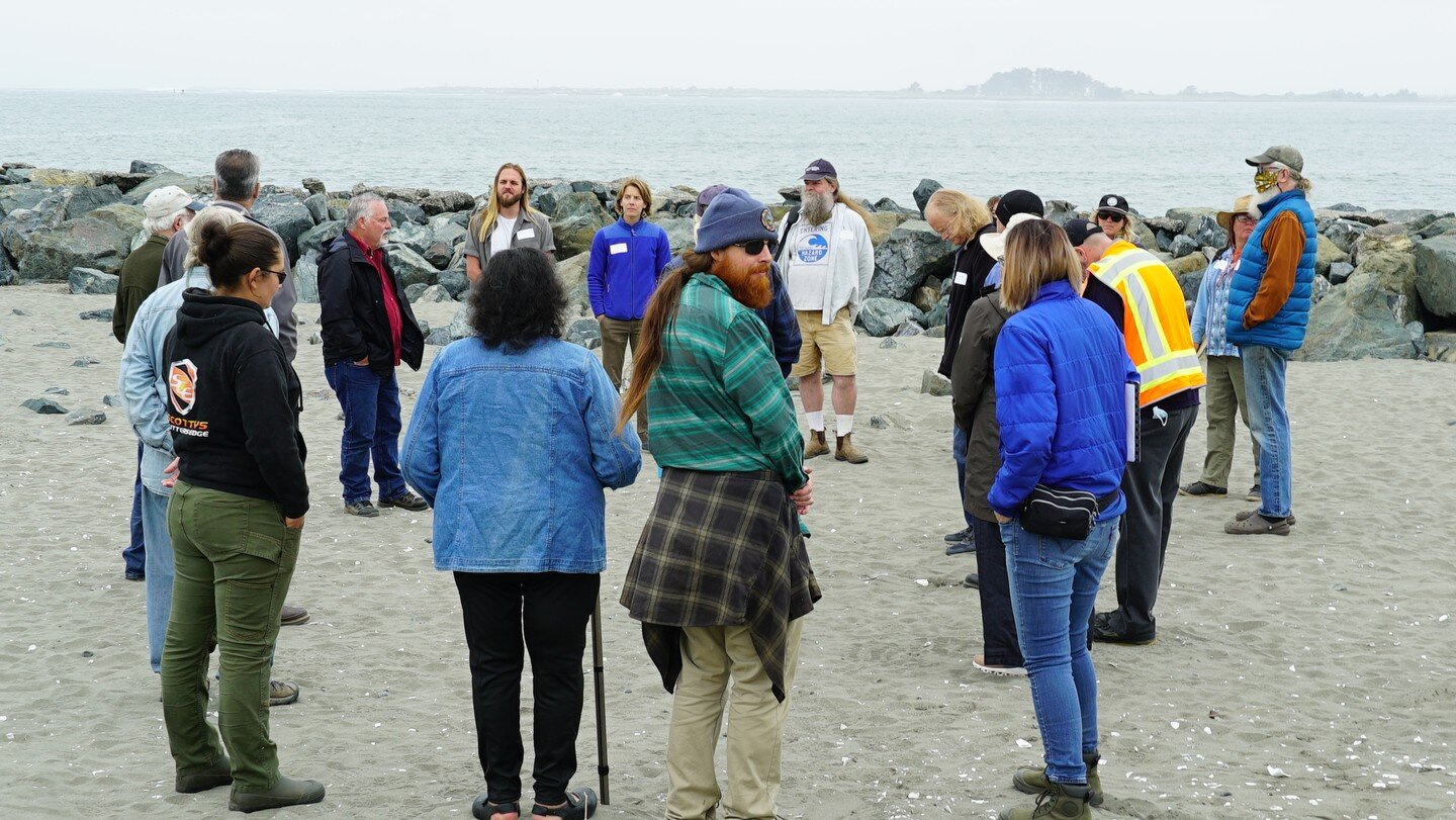
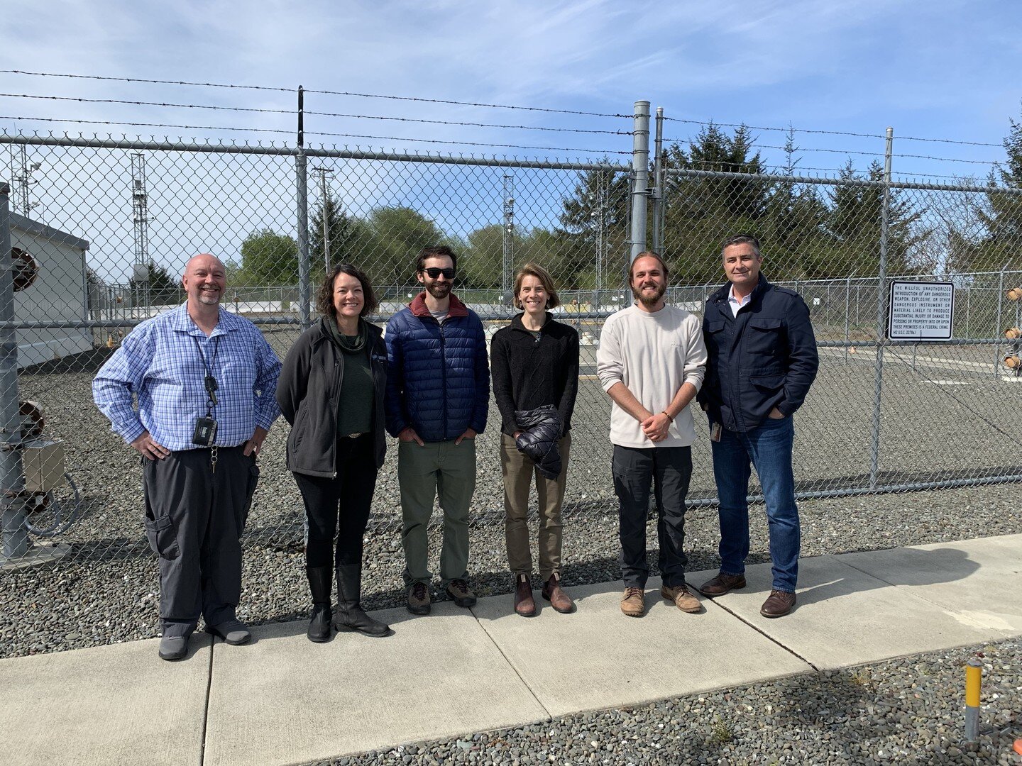
The 44 Feet Project is a forward-looking, transdisciplinary, collaborative research project based at Cal Poly Humboldt. It has brought together state agencies, utility representatives, scientists, Tribes, Community Advisory Board members, and regular folk to support the responsible long-term management of the spent nuclear fuel on Humboldt Bay.
The goals of the 44 Feet Project are to: 1) fill in gaps in existing safety analysis to account for increased future risk of coastal and climate hazards to Humboldt Bay’s spent nuclear fuel site, 2) center community and Tribal perspectives in future decision-making, and 3) promote the idea that trust, communication, and public awareness must rank equal to science in the responsible long-term management of at-risk spent nuclear fuel sites in a climate-changed world.
About the location

Buhne Point, Red Bluff & King Salmon in the 1950s, following the construction of PG&E’s fossil fuel-powered Humboldt Bay Power Plant (HBPP) Unit 1. (Nuclear Regulatory Commission n.d., p. 4)
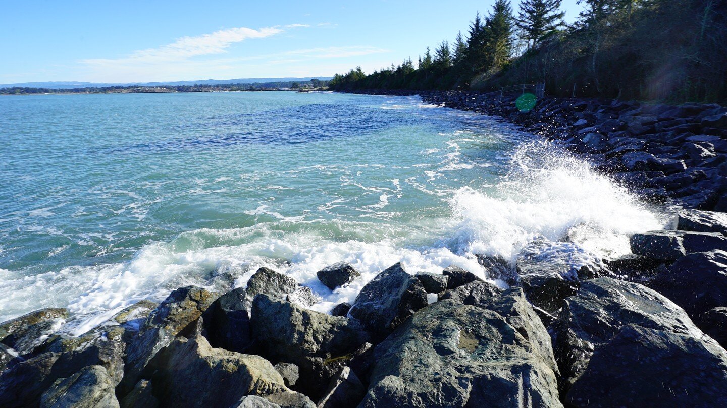
PG&E's former nuclear power plant sat next to U.S. Highway 101 at King Salmon atop Buhne Point. The Wiyot place name for Buhne Point is Jurouk Higuchguk, a bluff that sits above Wigi (Humboldt Bay). The spent (used) nuclear fuel will be stored “in perpetuity” atop this bluff along the most dynamic and erosive section of South Humboldt Bay, which is experiencing the fastest pace of relative sea level rise on the West Coast.
In the 1890s, construction of the Humboldt Bay entrance jetties directed high-energy waves at the bluff. Consequently, approximately 1,480 feet of Buhne Hill eroded away until 1950, when the shoreline was fortified by a rip rap wall, which also provides protection to the community of King Salmon. (Laird 2019 Nov, p. 11; Page 2005; Walters 2013). The site may be at risk of shoreline/bluff erosion if 2.0 meters of sea level rise is allowed to overtop the existing sea wall.
The former nuclear power plant operated briefly from 1963 to 1976. Still, it produced high-level radioactive waste from the uranium fuel it used to create electricity. The radioactivity has cooled somewhat in the intervening years, but some of the waste stored at Buhne Point will remain radioactive for more than 100,000 years.
The top of the HB ISFSI sits 44 feet above mean sea level and 115-feet away from the edge of the bluff.
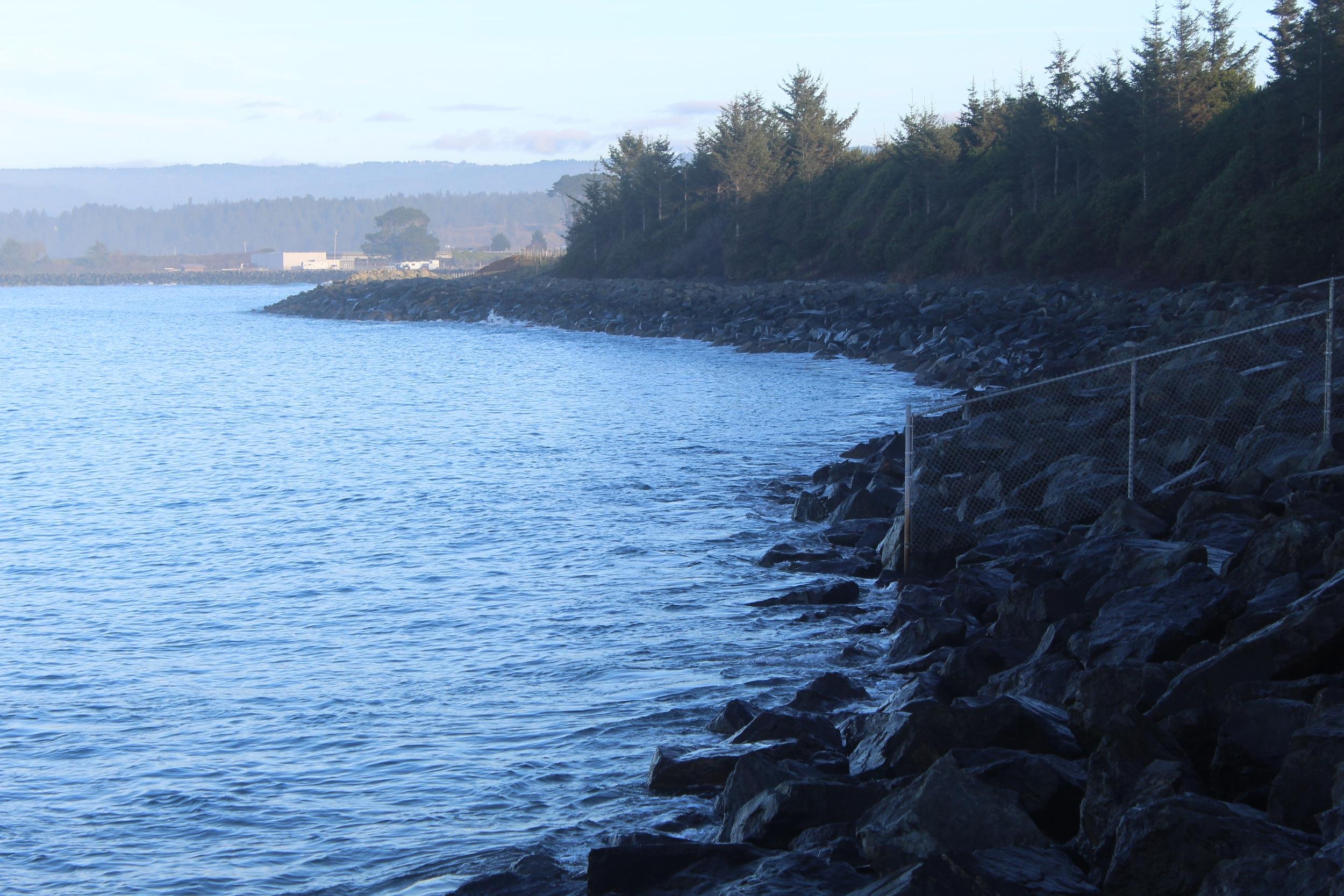
The seawall along Buhne Point (Jurouk Higuchguk) in 2020. (Abigail Lowell 2020 Dec)
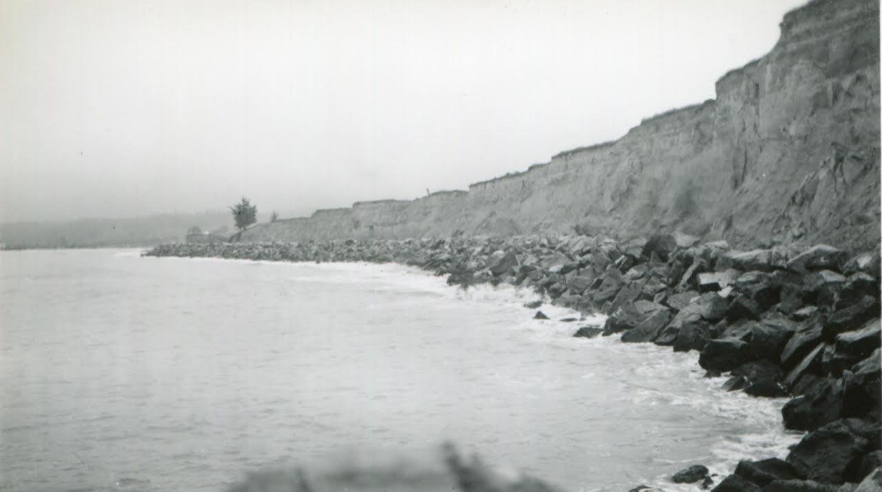
The coast of Buhne Point (Jurouk Higuchguk), 70 years ago, in 1952. (Lloyd Stine 1952)
Learn more about the history of the project by visiting the Archive.
with funding from